GIS ObjectLand 2.7.9
Free Trial Version
Publisher Description
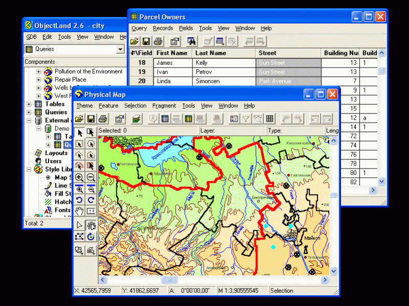
GIS ObjectLand is a universal Geographic Information System for Windows.
Key features:
- creation of vector-raster maps with arbitrary structure of layers and feature types in an internal ObjectLand database or in following DBMSs - MS SQL Server, Oracle, DB2, MySQL, Interbase/Firebird, PostgreSQL, MS Access;
- creation of themes. Theme is a user presentation of a map;
- control of displaying features depending on the chosen scale;
- spatial data input and editing by assigning feature coordinates and also by interactive drawing with mouse or digitizer;
- sewing of separate pages of an imported map into one unified continuous map;
- copying, merging, and moving maps, layers, and feature types between different geoinformation databases;
- creation of tables of arbitrary structure;
- creation of queries. Query is a user presentation of table built by setting search and sorting conditions, joining tables, calculations and using reference tables;
- copying, merging, and moving tables and queries between different geoinformation databases;
- setting arbitrary links between spatial and table information;
- getting information about the feature selected on the map;
- searching for features on the map by linked records;
- creation of filters. Filter is conditions of feature visualization depending on spatial properties of features and linked table data;
- creation of layouts. Layout is an output form combining spatial, table information and presentation elements;
- import and export of table and spatial information for widespread data formats;
- support of style libraries containing fonts, map symbols, line styles, hatches and fill styles;
- style editors for displaying styles;
- setting for users the access permissions to components;
- multiuser data editing;
- using and editing tables of external database (via ODBC) as linked tables;
- providing automation COM interfaces for user applications.
About GIS ObjectLand
GIS ObjectLand is a free trial software published in the Databases & Tools list of programs, part of Business.
This Databases & Tools program is available in English. It was last updated on 27 March, 2024. GIS ObjectLand is compatible with the following operating systems: Windows.
The company that develops GIS ObjectLand is Radom-IT. The latest version released by its developer is 2.7.9. This version was rated by 1 users of our site and has an average rating of 3.0.
The download we have available for GIS ObjectLand has a file size of 29.36 MB. Just click the green Download button above to start the downloading process. The program is listed on our website since 2018-11-14 and was downloaded 407 times. We have already checked if the download link is safe, however for your own protection we recommend that you scan the downloaded software with your antivirus. Your antivirus may detect the GIS ObjectLand as malware if the download link is broken.
How to install GIS ObjectLand on your Windows device:
- Click on the Download button on our website. This will start the download from the website of the developer.
- Once the GIS ObjectLand is downloaded click on it to start the setup process (assuming you are on a desktop computer).
- When the installation is finished you should be able to see and run the program.
